Project Overview
We envisioned creating a tool to generate a scenic route from two geographical points, with a user friendly interface that allows for preferences between urban and nature scenery. The approach we decided upon involves querying images from Flickr, which is an online image hosting service, and classifying those images through a neural network. From there, we are able to generate a path via the Google Maps Algorithm that optimizes the scenic value of the places along the route from point A to B.
Literary Review
Runge, N., Samsonov, P., Degraen, D., & Schöning, J. (2016). No more autobahn! Scenic Route Generation Using Googles Street View. Proceedings of the 21st International Conference on Intelligent User Interfaces.
https://doi.org/10.1145/2856767.2856804No More autobahn! outlines the overall groundwork for our scenic route generation project. This paper provides a layout of how that team went about creating their own route generation framework based on scenic utility rather than time and distance alone. We replicated a lot of what they accomplished, and built on their work. In the paper, the authors outlined the techniques and components needed to create the framework as a whole; this includes gather image data from Google Street View, map/pipeline data from OpenStreetMap, using the PlacesCNN to classify images, and the algorithms to stitch images and generate routes from an image grid. We used many of the same techniques, and deviated from the original project in the sense that we used images from Flickr instead of Google Street View images.
How Scenify Works
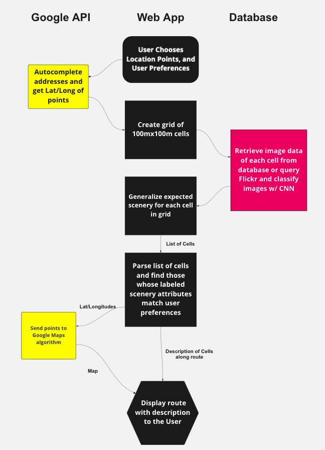
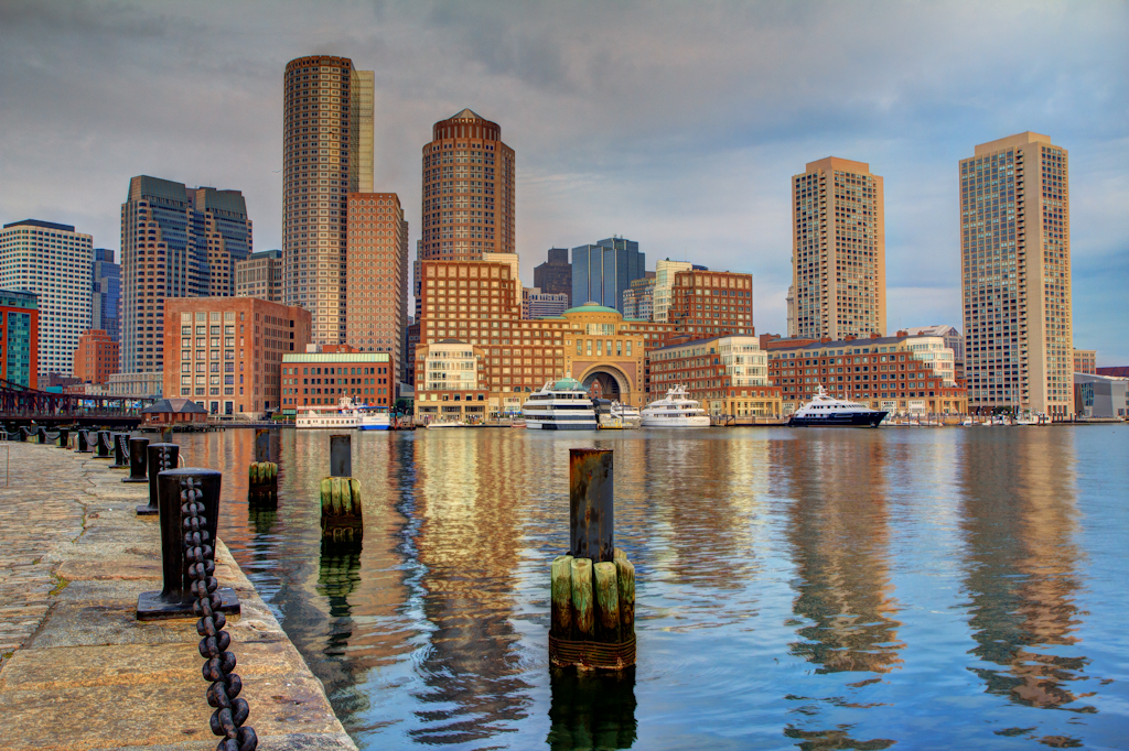
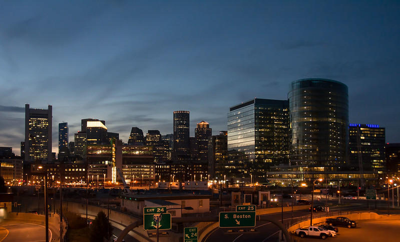
Scenify works on walking paths within the city of Boston, MA. The interface works by analyzing images between two points from Flickr through a convolutional neural network (CNN) and generates a path to optimize the scenic value of route from A to B.
To start, we ask the user for a start point and end point of their route, along with preferences regarding what type of scenery they would like to see along with the maximum number of stops along the route.
Our algorithm works by:
- Creating a grid of 100m x 100m cells with the point A being in the upper left corner and point B being in the lower right corner
- Classify the images within the cells through the CNN and create scenic labels for each cells
- Add cells to Google Maps API that match user preferences and does not exceed number of stops limit
- Return route back to user, along with description of what to expect along route

About Us!
Here is some more information about us!
nika@carleton.edu
Adam is from Eden Prairie, Minnesota and is a member of both the football and swim team here at Carleton. Adam is also a huge lover of cats and learned how to juggle his freshman year of college. After graduation, Adam plans to pursue a PhD in AI/machine learning.
kammannm@carleton.edu

Molly is computer science and chemistry major from Minnesota. Outside of academics, Molly enjoys playing tennis and walking though the arboretum while listening to a good podcast.
rybarczykj@carleton.edu
From from Minneapolis, Minnesota, some of Jack's favorite hobbies include ultimate frisbee and jazz. After graduation, Jack plans to work in Software, and potentially to grad school to further study Computer Science.
hes2@carleton.edu
Sue is from Beijing, China. In her free time, she enjoys dancing, cooking, and playing video games. A fun fact about Sue is that she ahs a seal pillow which looks exactly the same as a seal with a hidden neck! After graduation, Sue plans to either go to grad school or take a gap year.