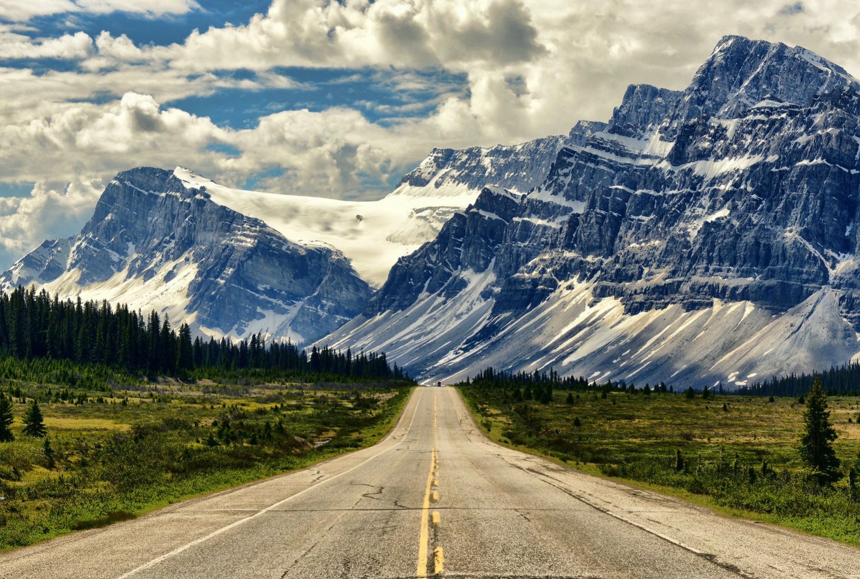
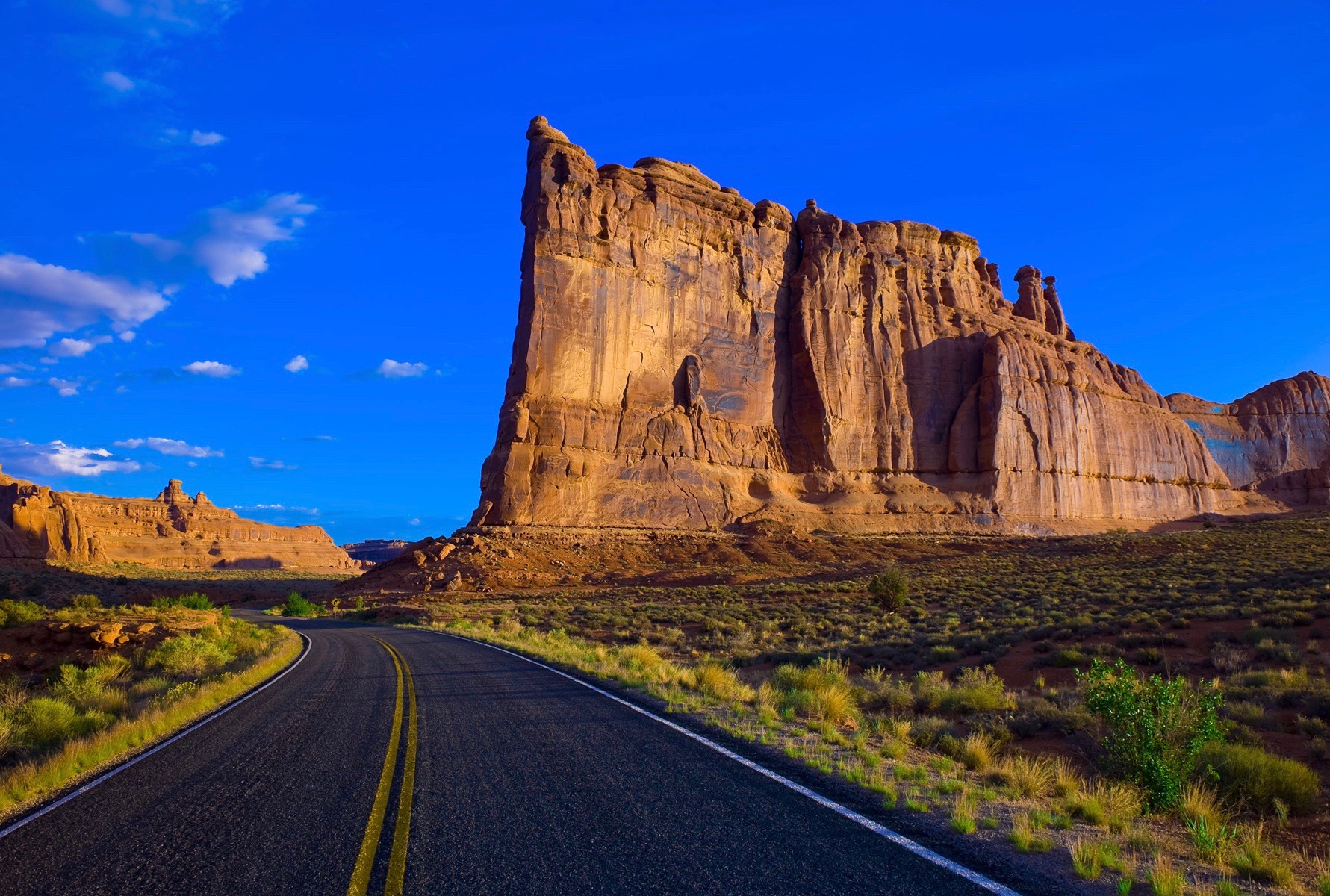
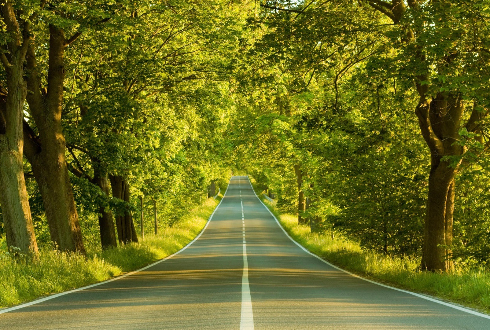
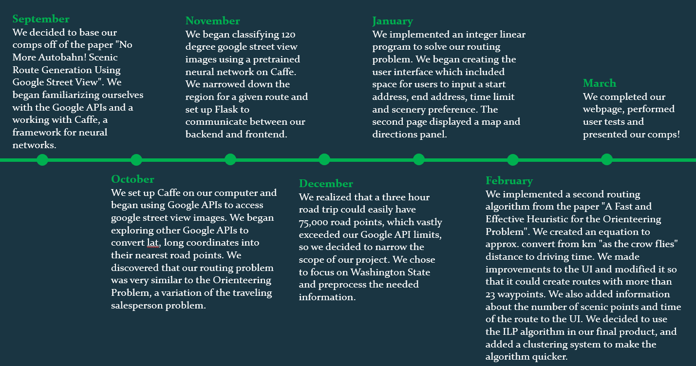
GoScenic utilizes Google Maps APIs to identify road coordinates and collect Google Street View Images for each road coodinate. These images are then classified by the scenery they contain using the pretrained convolutional neural network created by B. Zhou, A. Lapedriza, J. Xiao, A. Torralba, and A. Oliva, and described in the paper “Learning Deep Features for Scene Recognition using Places Database.” Images could be classified as either mountains, water, nature and woods, fields, sightseeing or non-scenic. Through this process GoScenic classifies sections of road (in an approx. 1 km x 1km sections) as containing (or not containing) these different scenery types. Users are able to input a start and end location, max time and scenery preference (from one of the categories previously listed) and GoScenic will create a route that maximizes the number of scenic sections of road along their route, yet does not exceed their time limit.